Check


Defiance Boats!

LURECHARGE!

THE PP OUTDOOR FORUMS

Kast Gear!

Power Pro Shimano Reels G Loomis Rods

  Willie boats! Puffballs!


Three Rivers Marine


Topic Options
Rate This Topic
#891947 - 04/15/14 06:27 PM Strait of Juan de Fuca
GBL Offline
Three Time Spawner

Registered: 01/31/05
Posts: 1879
Loc: Yakutat
This is pretty interesting and cool!

University of Washington researchers said they are astounded by the volume of deep sea water that is flowing through an underwater canyon at the mouth of the Strait of Juan de Fuca. They say it’s enough to fill Century Link Field every second. Twenty to 30 times more water comes up through that canyon than all of the rivers and streams that feed Puget Sound combined.

Top
#891948 - 04/15/14 06:28 PM Re: Strait of Juan de Fuca [Re: GBL]
GBL Offline
Three Time Spawner

Registered: 01/31/05
Posts: 1879
Loc: Yakutat
Scientists at the UW School of Applied Sciences said today that results from a machine they lowered into the canyon on a research mission last year, measured those massive flows. They describe it as an underwater river as big as the Columbia and Amazon combined that flows uphill from the depths of the Pacific and into the Strait.
Their studies also identified the flow triggers giant underwater waves, as big as skyscrapers that roll through the Strait churning and mixing up nutrients that help feed the Puget Sound’s unusually large shellfish populations.
It also brings some unwelcome elements like low oxygen and high acid levels that are blamed for some fish die offs. But it is a naturally occurring event that has shaped Puget Sound and now that scientists understand it better, they can better understand how it affects the underwater world.

Top
#891982 - 04/16/14 12:57 AM Re: Strait of Juan de Fuca [Re: GBL]
bushbear Offline
River Nutrients

Registered: 08/26/02
Posts: 4709
Loc: Sequim


http://www.sciencedaily.com/releases/2014/04/140414112435.htm


Puget Sound's rich waters supplied by deep, turbulent canyon
Date:
April 14, 2014
Source:
University of Washington
Summary:
Oceanographers have made the first detailed measurements of fast-flowing water and intense mixing in a submarine canyon just off the Washington coast.

The Juan de Fuca Canyon reaches the opening of the strait that separates the U.S. and Canada. The canyon is just under 4 miles wide and at least 450 yards deep, or twice the depth of the surrounding seafloor.
Credit: Image courtesy of University of Washington
The headwaters for Puget Sound's famously rich waters lie far below the surface, in a submarine canyon that draws nutrient-rich water up from the deep ocean. New measurements may explain how the Pacific Northwest's inland waters are able to support so many shellfish, salmon runs and even the occasional pod of whales.
University of Washington oceanographers made the first detailed measurements at the headwater's source, a submarine canyon offshore from the strait that separates the U.S. and Canada. Observations show water surging up through the canyon and mixing at surprisingly high rates, according to a paper published in March in Geophysical Research Letters.
"This is the headwaters of Puget Sound," said co-author Parker MacCready, a UW professor of oceanography. "That's why it's so salty in Puget Sound, that's why the water is pretty clean and that's why there's high productivity in Puget Sound, because you're constantly pulling in this deep water."
It has been known for decades that 20 to 30 times more deep water flows into Puget Sound than from all the rivers combined. Surface tides, while dramatic, play a minor role.
"The tidal currents that slosh the water back and forth, that's what's really obvious," MacCready said. "But there's also a slow, persistent circulation that is constantly bringing deep water in, mixing it up and sending the surface water out."
The Juan de Fuca Canyon reaches the opening of the strait that separates the U.S. and Canada. The canyon is just under 4 miles wide and at least 450 yards deep, or twice the depth of the surrounding seafloor.
New measurements show this canyon potentially supplies most of the water coming into Puget Sound, the Strait of Juan de Fuca and Canada's Georgia Strait.
The intense flow and mixing measured inside the canyon could help explain the mysterious productivity of Northwest shores. Coastal winds usually bring nutrients up on the west coast, but the numbers don't add up for this region.
"Washington is several times more productive -- has more phytoplankton -- than Oregon or California, and yet the winds here are several times weaker. That's been kind of a puzzle, for years," said co-author Matthew Alford, an oceanographer with the UW's Applied Physics Laboratory.
The secret to the Northwest's outsize productivity could be marine canyons, an idea first suggested by UW oceanographer Barbara Hickey. The northern section of the west coast has many more canyons than Oregon or California, with 11 along the Washington coast.
The new paper provides the latest evidence for these canyons' importance. Measurements by another UW oceanographer in the 1970s first showed water flowing through Juan de Fuca Canyon with a direction that depends on the coastal winds. More recently, calculations by Hickey and a colleague in 2008 suggested submarine canyons could play an important role in supplying nutrients to the Northwest coastal waters.
Alford and MacCready measured inside the Juan de Fuca Canyon in April 2013 using an instrument, built at the UW Applied Physics Laboratory with funding from Washington Sea Grant, that takes water measurements near the seafloor. During a day and a half of round-the-clock observations they got lucky with the wind direction and recorded strong flow up through the canyon.
Water flowed as fast as 1.3 feet per second at 500 feet below the surface, and showed mixing up to 1,000 times the normal rate for the deep ocean. The data also showed that the flow is hydraulically-controlled, meaning it flows smoothly over a shallow ridge just off the cape and then forms a turbulent breaking wave on the other side, mixing with the waters far above.
The deep water forced up through the canyon is rich in nutrients that support the growth of marine plants which then feed other marine life. Those waters also are more acidic and lower in oxygen, all of which contribute to water conditions in the Sound.
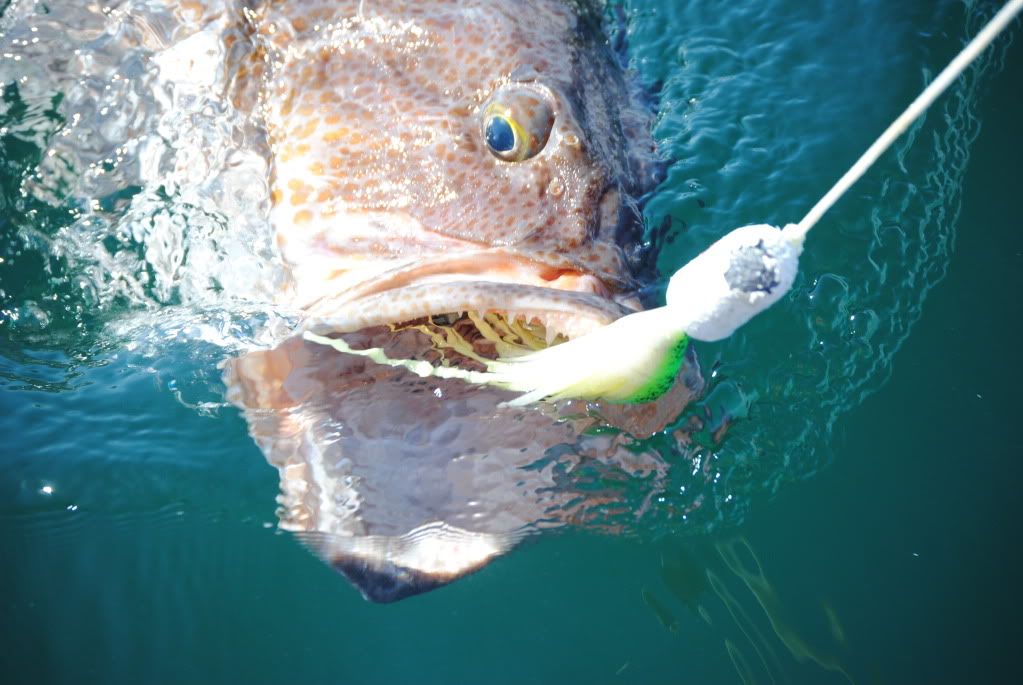
"The location of this sill would be an outstanding place to fish," Alford said. "People fish in Juan de Fuca Canyon pretty actively, and that's probably no coincidence."
Pinpointing the source of Puget Sound waters will help make better computer models of circulation through the region, and eventually could help forecast ocean acidity, harmful algal blooms and low-oxygen events.
"Canyons might be important not just for coastal productivity, but that mixed water also gets exported into the interior of the ocean," Alford said. "I look at this as a first step in getting canyons right in coastal models and in global climate models, because I think it could potentially be a very important source of mixing."
The research was funded by the Office of Naval Research and the National Oceanic and Atmospheric Administration. Ship time aboard the Thomas G. Thompson was provided by the UW.
________________________________________
Story Source:
The above story is based on materials provided by University of Washington. The original article was written by Hannah Hickey. Note: Materials may be edited for content and length

Top
#892040 - 04/16/14 03:59 PM Re: Strait of Juan de Fuca [Re: bushbear]
fishbadger Offline
Repeat Spawner

Registered: 03/06/01
Posts: 1195
Loc: Gig Harbor, WA
Is that the canyon in the image, running in a generally straight line from the continental shelf in its southwest, to the mouth of SJF (south margin of Switfsure) in it's northeast?

fb
_________________________
"Laugh if you want to, it really is kinda funny, cuz the world is a car and you're the crash test dummy"
All Hail, The Devil Makes Three

Top
#892045 - 04/16/14 04:15 PM Re: Strait of Juan de Fuca [Re: fishbadger]
Todd Offline
Dick Nipples

Registered: 03/08/99
Posts: 28170
Loc: Seattle, Washington USA


Not too surprised since that spot where the PS canyon reaches out off the continental shelf is where immature Chinook from all over the west coast of North America spend a lot of time feeding.

Fish on...

Todd
_________________________


Team Flying Super Ditch Pickle


Top
#892099 - 04/16/14 10:48 PM Re: Strait of Juan de Fuca [Re: Todd]
Jaydee Offline
2010 SRC Champion!

Registered: 12/19/03
Posts: 1002
Loc: Paradise City!
The boundaries of the Juan De Fuca canyon are loaded with marine life from mammals to baitfish spring-fall along with everything in between. Bearing witness to some "blue-planet-like" stuff out there has been one of the highlights of my experiences on the big blue. The canyon itself is heavily trafficked by large processors/trawlers (midwater hake/pollock mostly, but some bottom dragging does happen). Longliners do the blackcod-sablefish/halibut thing as well. The boundaries of the JDF canyon are a favorite for commercial salmon trollers for good reason.

For recs that don't mind the boat ride/fuel consumption, adult chinook fishing can be ridiculous July/Aug. A good percentage of columbia-bound adult chinook feed out there and get large inside of 100 fathoms. Even fraser-bound whites make up some of the percentage of chinook caught in the vicinity of the canyon. Albacore seem to be at times numerous approaching the 500 fathom line too. Often the whale show is worth the price of admission June-Sept.
_________________________
RIP Tyler Greer. May Your seas be calm, and filled with "tig'ol'bings"!


Top
#892101 - 04/16/14 11:01 PM Re: Strait of Juan de Fuca [Re: Jaydee]
Salmo_Gairdneri Offline
Returning Adult

Registered: 03/27/05
Posts: 395
Loc: Snohomish
Correction to the claims above. Actually no fish are caught here. Move along!

smile

-S

Top
#892111 - 04/16/14 11:46 PM Re: Strait of Juan de Fuca [Re: Salmo_Gairdneri]
Jaydee Offline
2010 SRC Champion!

Registered: 12/19/03
Posts: 1002
Loc: Paradise City!
My bad. I meant, all the fish are at Westport and Sekiu. Carry on.

wink
_________________________
RIP Tyler Greer. May Your seas be calm, and filled with "tig'ol'bings"!


Top

Search

Site Links
Home
Our Washington Fishing
Our Alaska Fishing
Reports
Rates
Contact Us
About Us
Recipes
Photos / Videos
Visit us on Facebook
Today's Birthdays
Carcassman, Clipfin, Danny Clyde, Dannyboy, dk1948, Twitch
Recent Gallery Pix
hatchery steelhead
Hatchery Releases into the Pacific and Harvest
Who's Online
0 registered (), 1004 Guests and 3 Spiders online.
Key: Admin, Global Mod, Mod
Newest Members
John Boob, Lawrence, I'm Still RichG, feyt, Freezeout
11498 Registered Users
Top Posters
Todd 28170
Dan S. 17149
Sol Duc 16138
The Moderator 14486
Salmo g. 13523
eyeFISH 12767
STRIKE ZONE 12107
Dogfish 10979
ParaLeaks 10513
Jerry Garcia 9160
Forum Stats
11498 Members
16 Forums
63778 Topics
645361 Posts

Max Online: 3001 @ 01/28/20 02:48 PM

Join the PP forums.

It's quick, easy, and always free!

Working for the fish and our future fishing opportunities:

The Wild Steelhead Coalition

The Photo & Video Gallery. Nearly 1200 images from our fishing trips! Tips, techniques, live weight calculator & more in the Fishing Resource Center. The time is now to get prime dates for 2018 Olympic Peninsula Winter Steelhead , don't miss out!.

| HOME | ALASKA FISHING | WASHINGTON FISHING | RIVER REPORTS | FORUMS | FISHING RESOURCE CENTER | CHARTER RATES | CONTACT US | WHAT ABOUT BOB? | PHOTO & VIDEO GALLERY | LEARN ABOUT THE FISH | RECIPES | SITE HELP & FAQ |