update:
I decided to try and make a map. Went on google maps and pulled up a topo of the drainage I hunt elk in. cropped out the area I wanted and saved as a JPEG file. Then went into google earth and zoomed in on said drainage. then clicked the "add image overlay" button. Matched up the overlay image with the google earth map below it and saved it as a Kmz file. I then connected my rino to the computer and drug that file into the "custom maps" folder on the garmin drive.
To make sure it was calibrated I marked a waypoint on the custom map and took a coordinates reading. Then I closed out of the map and disabled my custom map. Then I enabled the huntinggps maps and went to that waypoint and came up with the same coordinates on that map. Seems like it worked out. might have to try and do a custom map for a local blacktail spot so I can truly cross check the coordinates on foot.
I'd still like to hear how you guys are making custom maps and if so what programs you're running.
_________________________
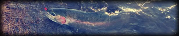
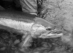
No head like STLHD!
"Dude...where's your boat!?" Team runaway drift boat prostaff.
Big Stick 2012: "EVERY thought of my being, is in regards to being a Hi-Tech Predator and I relish the role."


 Previous Topic
 Index
Index


