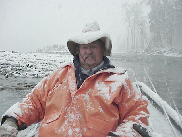
https://www.nwrfc.noaa.gov/rfc/ REPOSTED THE FLOW UPDATE IS OUT> BIG CHANGE.
This thing has been changing on the forecast day by day but this is a big change in duration on inches. Have to wait a bit until the river forecast is updated but it looks like it is going to be a more significant event than thought. That said nearly 4 inches in the Olympics and at 3 on the coast is going to going to do a river reboot big time.
More: CENTRAL COAST:
...A CHANGE TO WET AND COOLER WEATHER IS IN STORE FOR WESTERN
WASHINGTON THIS UPCOMING WEEK...
A series of storms will bring much needed rain to Western
Washington starting Sunday. At this time, it appeared that the
heaviest rains will occur with the Monday and midweek storms.
Some places, especially on the coast and in the mountains, will
receive over an inch of rain from each of these storms. The amount
of rain expected will be the most we have received since late
spring.
Expect a cold front to sweep across the area late Sunday and
usher in a colder air mass. Snow levels will fall into the 4500 to
5500 foot range by Monday morning. Anticipate the snow levels to
generally remain in this range through the midweek. This will
result in snow accumulations, mainly above the 5000 foot level.
Those planning on hiking or camping in the mountains this
upcoming week should pay close attention to the latest weather
forecasts. Be prepared for wet and chilly conditions.


 Previous Topic
 Index
Index

